din leverandør av satellittbilder i høy oppløsning
Om Oss
I 2010 ble VFAS (View From A Star Satellite Imagery Corp.) etablert i Canada. VFAS leverer bilder og løsninger fra satellitt til det nordamerikanske markedet for store og små prosjekter innenfor miljøvurdering, arealbruk, samfunnsplanlegging, pedagogisk forskning, grunn/infrastruktur, overvåking med mer.
I 2020 utvidet VFAS med etablering av selskapet VFAS Nordic Satellite Solution AS i Norge. Fra vårt norske kontor tilbyr vi:
- Salg av satellittbilder med høy oppløsning (opp til 30cm)
- Prosjektledelse for små og store satellittbildeprosjekter.
- InSAR overvåkningstjenester
VFAS Nordic er en sertifisert Maxar (DigitalGlobe)-forhandler med mål å tilby rask levering av satellittbilder og overvåkningstjenester, samt ekstraordinær kundeservice.
Bestill satellittbilder fra VFAS i 3 enkle trinn
Lag en KML fil eller shapefile (WGS40-kompatibel) for ønsket område. Alernativt kan du definere koordinatene dine direkte.
Send oss dine filer/koordinater til
info@viewfromastar.com
Vi gir deg resultatet og et uforpliktede tilbud innen 24 timer. Vi informerer deg først om hva som er tilgjengelig i vårt omfattende bildearkiv, deretter estimerer vi hvor lang tid det vil ta å skaffe nye bilder.
ENKLE FAKTA
Satellittbilder leveres via sikker FTP-nedlasting.
Normal leveringstid fra bildearkivet er innen 48 timer fra bestillingstidspunktet.
Normal leveringstid for ny anskaffelse er mellom 2 og 7 dager i “god vær” områder.
Nøklene til å få bilder til rett tid
- Effektiv prosjektstyring skjer ved kontinuerlig og rask kommunikasjon mellom deg (kunde), VFAS Nordic (forhandler) og Maxar (satellitteier). God kommunikasjon mellom alle tre parter garanterer en raskere levering.
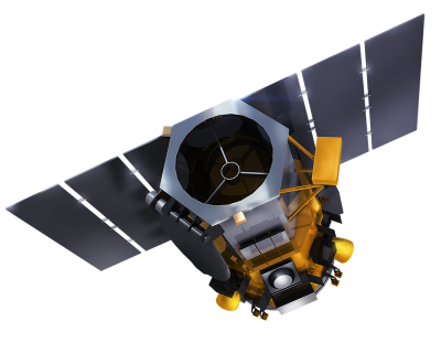
- Maxar imponerende satellittkonstellasjon tillater inntil 4 satellitter å samhandle for å sikre rask levering.
Rabatter:
Gode rabatter til undervisningsinstitusjoner
Volumrabatter
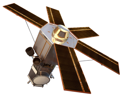
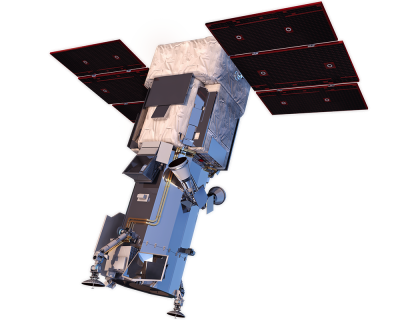
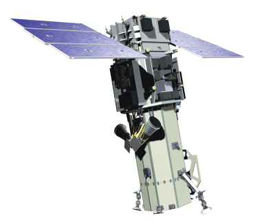
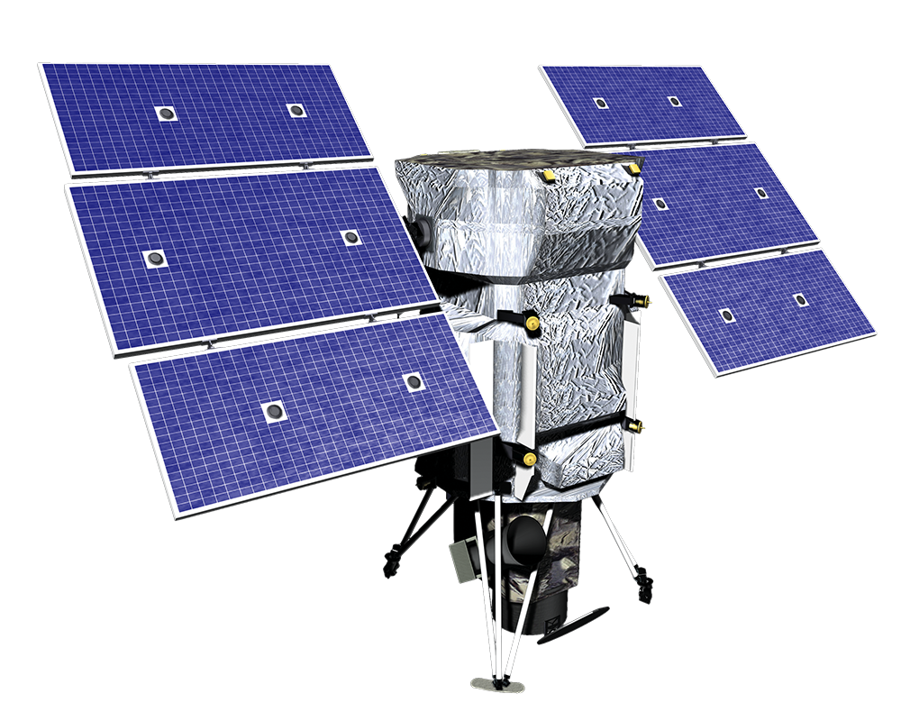
The Stars
Produkter
Facility Mapping from Space
Educational Discounts
30cm Resolution Satellite Imagery
Elevation Data
Civil Government Satellite Imagery Subscription Services
SecureWatch

Fin satellittbilder
over ditt området
Vi tilbyr bildesøk uten ekstra kostnad. Noen av våre kunder foretrekker å søke etter bilder på egen hånd ved å bruke følgende link nedenfor.
